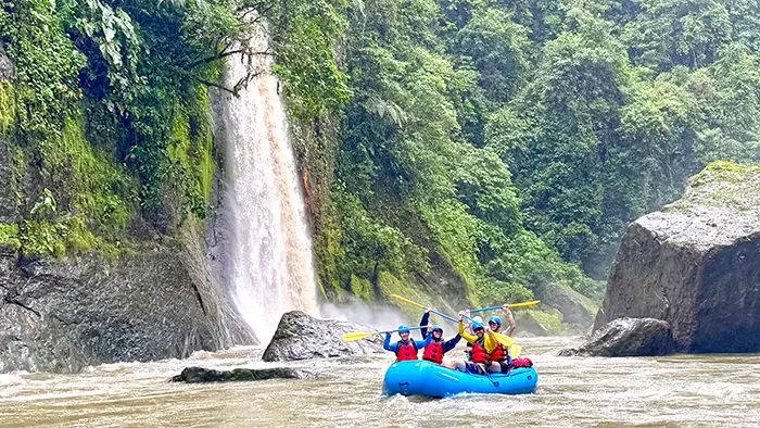
Over the last two years, our guides and staff have meticulously mapped the Pacuare River. Rapids, creeks, access points, and even jump rocks. We collected photos and videos, crashed a couple of drones along the way, and then plotted everything into a GIS mapping software. Our primary goal was to make the Pacuare River more accessible to experienced paddlers, and our secondary goal was to document the river and its changes throughout the years.
We’re happy to announce that the whitewater guide is now available both online and in the FarOut app. The online version is through GoRafting.com, a whitewater guide river database. FarOut is a trail and whitewater offline navigational app, chockful of features, and available on iOS or Android. This is by far the most comprehensive paddling resource for the Pacuare River.
We’re excited to watch the project transform and change, mirroring the Pacuare River as new rapids emerge and river channels adjust. One of our favorite features is the community involvement: Any user can add comments to a waypoint, alerting us and everyone else to changes to features and rapids.
Please take a look and let us know what you think. It’s been a fun project, and we’re interested to see how the paddling community uses this resource.


